
Friday, 31 December 2010

Tuesday, 14 December 2010

Monday, 13 December 2010


Sunday, 12 December 2010


Here's a wee idea.. i tried to create a variety of spaces:
a central civic square
a park/square that opens south onto the river
wide sweeping curved streets like similar to oxford street
connections to the 'central park through the blocks at one point
an avenue overlooking the 'central park' at another point.. similar to the one at bon accord gardens
a long open park space similar to rubislaw/queens terrace gardens
sorry i dont have a scanner, these are just pics taken from my phone.. i'll get better quality ones scanned in tomorrow
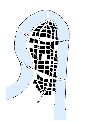
'The Finger' - Further Thought
Following discussions relating to 'the finger', see below a revised drawing. Further developments include the separation of the tram route, a larger grain, increased street widths...

Friday, 10 December 2010
Residential High & Low density
 The residential districts have a mix of high and low densities with the high density district the the south and low density district to the north divided by London road. The population density for each district is approximately 10,000 people, both low and high density districts are dominated by the tenement block with 7 story blocks in the high density and 4 story in the low density.
The 4 story low density residential zones are permeable by the car allowing for parking outside the housing units or within parking courts to the rear of the property. The streets leading from London road into the high density district is permeable by the car leading to schools and the supermarket. The car is gradually filtered out through the high density zone leading towards a car free town centre.
 All of the residential districts are interconnected by green streets that lead to a civic centre within the neighbourhoods. The low density neighbourhoods have large open spaces and have more green zones than the high density zone.
 Site section from the Clyde river through the high density zone and into the low density zone looking west. The bridge connection to the high street would be a play on levels that would allow pedestrian access at a high level bringing them out within the same level of the town centre. A lower level bridge may allow for cars to park within underground car parks keeping a car free town centre. A similar section looking east picking up more of the buildings that are being designed within both zones.
'Settlement Centre' Group
These diagrams and nollie plans show the recent development work relating to the central area of the settlement, notably 'the finger'. Working with the transport group, the moves within the development have been derived from the transport routes, relationships with the Commonwealth Games and other districts.
This part of the settlement will be dense, with hard edge created to the North, and the buildings set back on the South side of the finger.


Sections to follow soon. Please comment and share your thoughts as this is an important area within the settlement.
This part of the settlement will be dense, with hard edge created to the North, and the buildings set back on the South side of the finger.


Sections to follow soon. Please comment and share your thoughts as this is an important area within the settlement.


transport interchange hub (W.I.P)
 This scheme giving the solution for 50-years-development of transport link is not only for the settlement itself but also link Glasgow, Edinburgh and South UK cites.
the interchange hub is incorporated into the landscape of the area, creating public space for people...
(work in progress)
Peer review
Today's peer review was really enjoyable especially being in smaller groups allows ease of idea flow. The group which consists of Sheila, Amy, Damien, Le Phoung & Jecc presented very enthusiastic ideas about community centres, fire station, transport hub and an adult learning centre. Bouncing ideas of each other is excellent especially when you're stuck or need a different perspective in your design. All of these designs helped enhance the masterplan and gives a clearer direction of how the masterplan will be quite a successful scheme as it provides a good narrative to how the 21st century settlement will be and the reasoning to why we add the things we did in the masterplan.
Transport group

Overall transport outline (trams, car parks, green routes,hubs)

Detail layout of junctions (green route meets London road); Option 1

Option 2

Dimensions of roads and using tramways to buffer between pedestrians and cars

Little sketch to test out ideas
Thursday, 9 December 2010


Wednesday, 8 December 2010


Tuesday, 7 December 2010
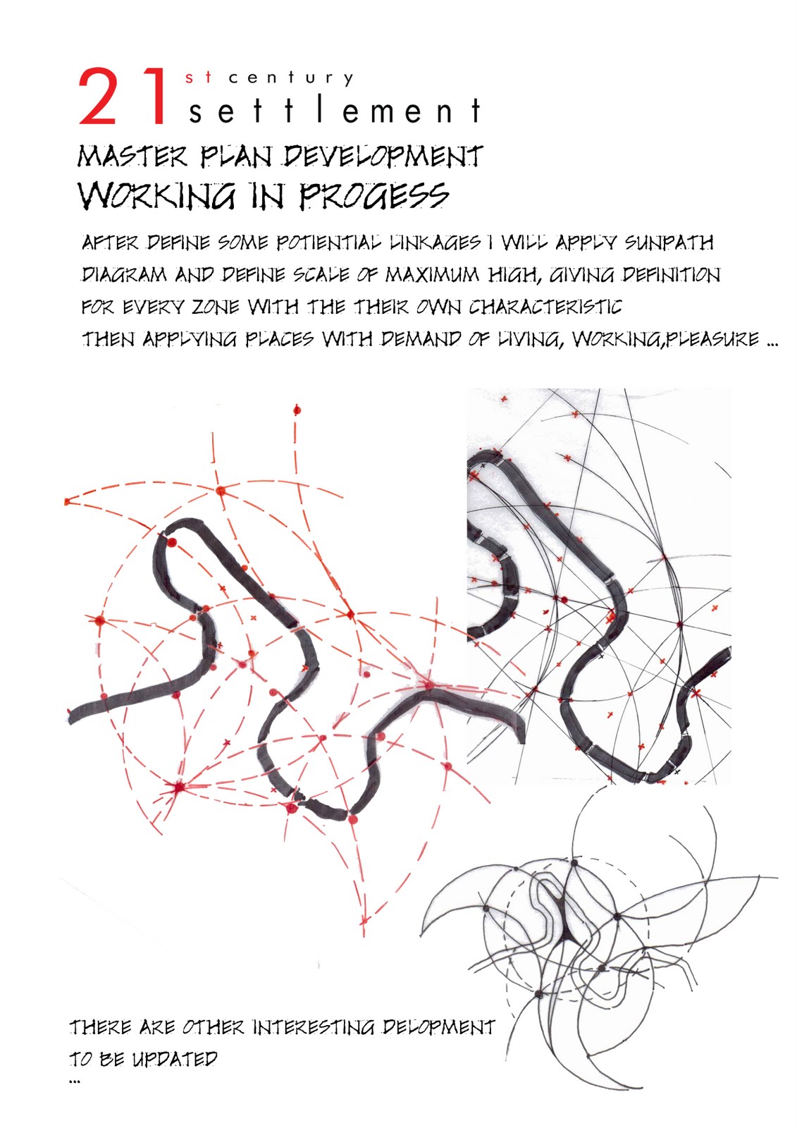
master plan strategy brief



Thursday, 2 December 2010
Concept Model for Individual Project


Here is a few photos of a massing model iv made for my Special Needs School.
Subscribe to:
Posts (Atom)